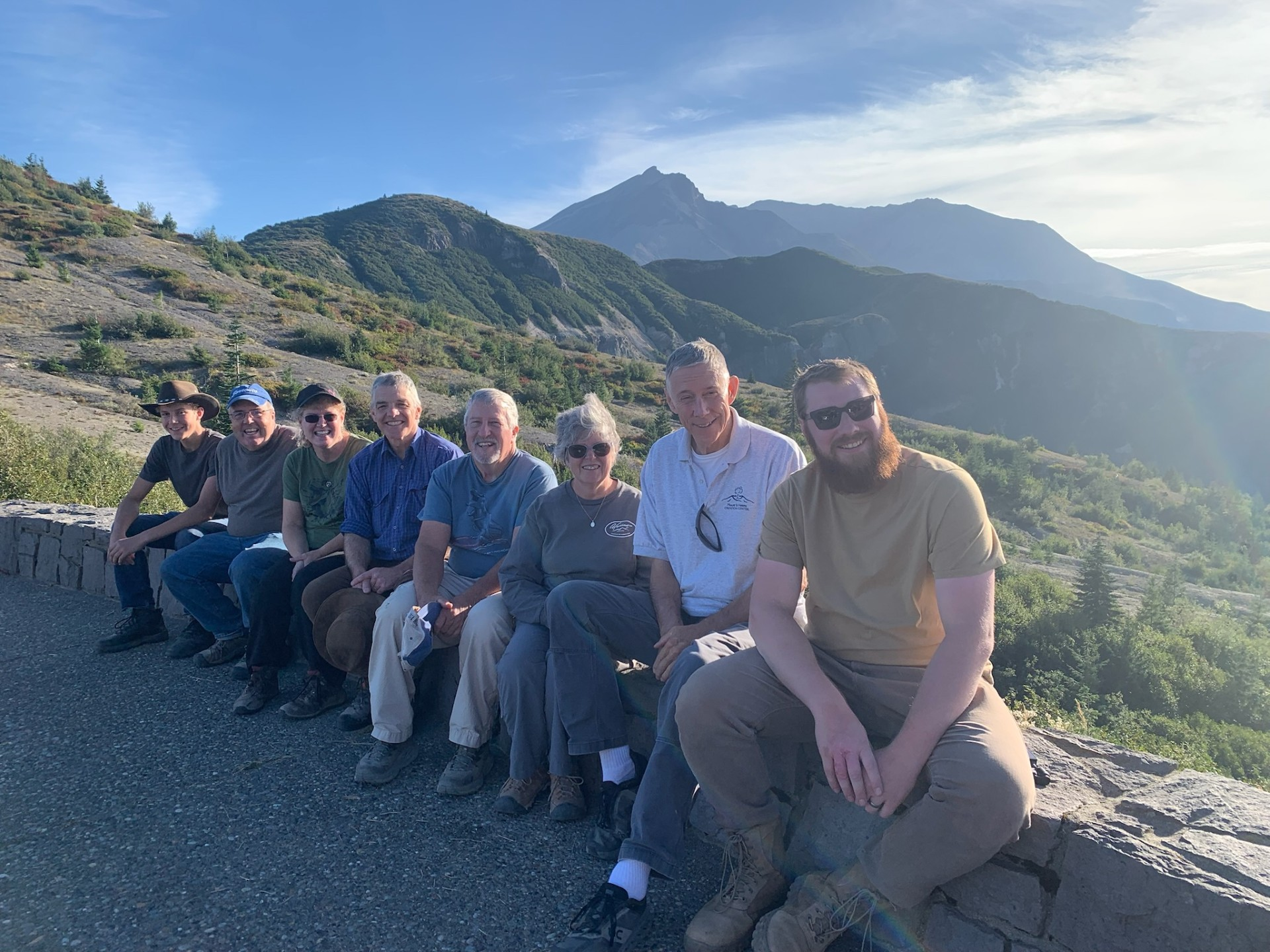
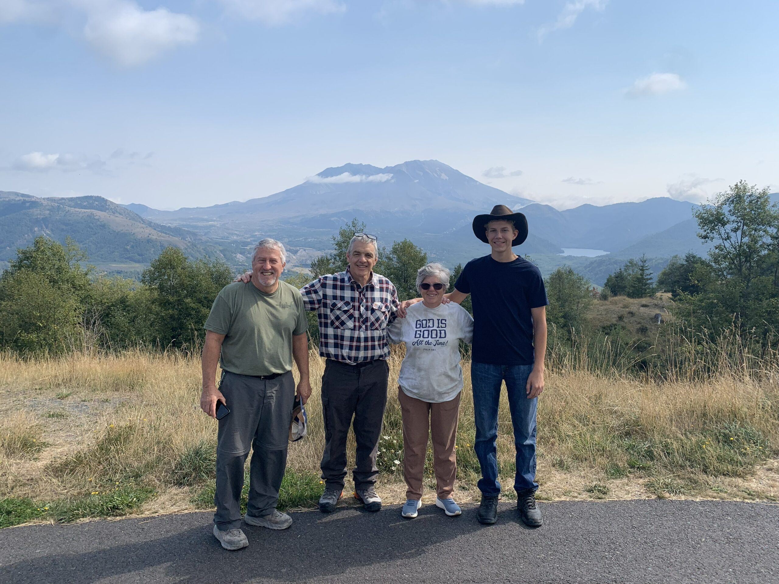
The main objective of our 2025 trip out west was to explore Mt St Helens and make videos about the catastrophic processes associated with the 1980 eruption and how the ecosystems rapidly recovered. While I had visited MSH and explored the soils along the Toutle River with a group of soil scientists in 1996, I was certainly not knowledgeable or experienced enough about the intricacies of the eruption or the recovery to lead our group effectively. But God knew our need and supplied the perfect guide.
In 1984, a group of Bible-believing scientists were allowed to explore and conduct research on and around MSHs. Among them were Creation Research’s founder, geologist John Mackay, and another geologist, Dr. Steven Austin. Included in their team was a student of Dr. Austin, William (Bill) Hoesch who is now the Director of Mount St. Helens Creation Center. Bill did his Geology Master’s degree on the MSH eruption and has been leading tours of MSH for the last five years. We started our 5 day excursion at MSH by visiting his museum in the beautiful little town of Castle Rock WA right outside MSH. There we learned so much about the eruption and Bill suggested a strategy for us to see the effects of the eruption and the recovery of the ecosystem.
MSH erupted early Sunday morning, May 18, 1980 following a 5.1 Richter earthquake. I remember being glued to the TV watching the north side of the mountain seeming to slowly collapse. The massive rock debris mixed with ice from the mountain collapse slammed into Spirit Lake and spilled into the Toutle River. Then almost instantly, rock and ash exploded into the sky creating what looked like an atomic eruption of ash into the sky. The explosion created a 12-15 mile diameter (150 square mile) blast zone through the surrounding forest. The mushroom-shaped column of ash shot 80,000 feet into the sky and drifted downwind. The ash plume turned day into night and gray, acidic ash covered eastern Washington and several states beyond.
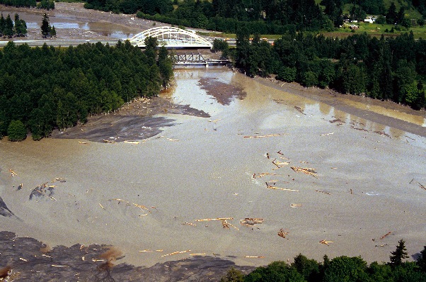
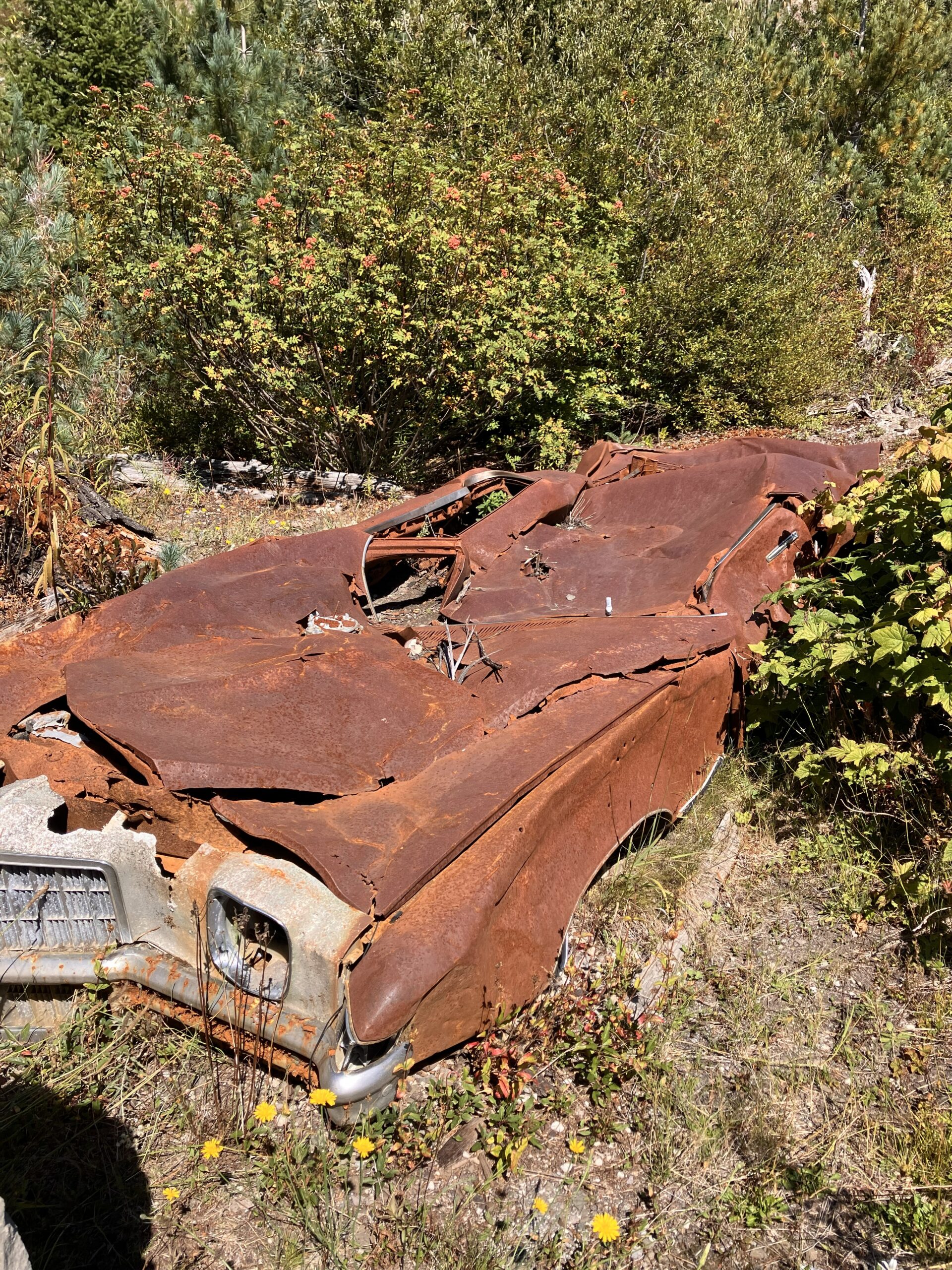
I especially remember watching on TV the cement-like slurry of ash mixed with melted glacier waters roar down the Toutle River destroying everything in its path. It flowed upwards of 90 mph taking out homes, bridges, vehicles, and trees. Upon reaching the confluence with the Columbia River 60 miles downstream, the 3 billion cubic yards of sediment from the Toutle River lahar, caused a debris dam that backed up the Columbia River. It left the river valley filled with deep deposits of ash and the surrounding area buried in gray, lifeless, acidic ash.
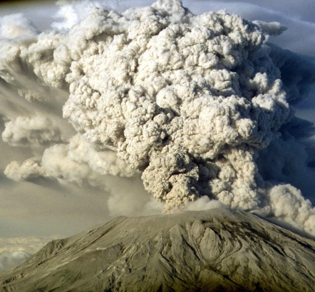
Prior to the 1980 MSH eruption, the area around MSH and Spirit Lake was dense mature forest. Every tree in the 12-15 mile radius blast zone was instantly laid down. These trees were snapped off at their base, branches snapped off and only stumps were left in the ground. At that time, scientists predicted that it would take 1000 years for the ecosystem to be restored due to the complete devastation of all life and burial by acidic ash in the blast zone. However, when I visited MSH in 1996 (16 years after the eruption), the blast zone already had ground cover vegetation and small shrubs/trees emerging in the blast zone and the area was teaming with elk and deer and other smaller wildlife.
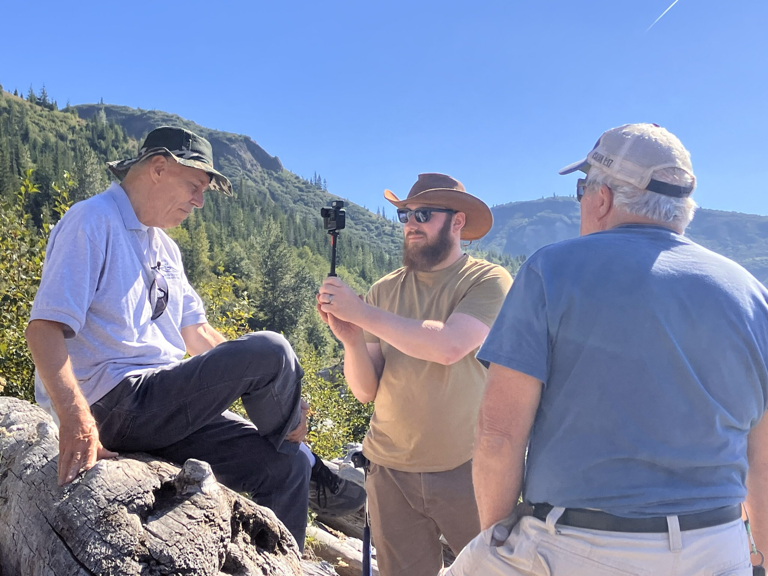
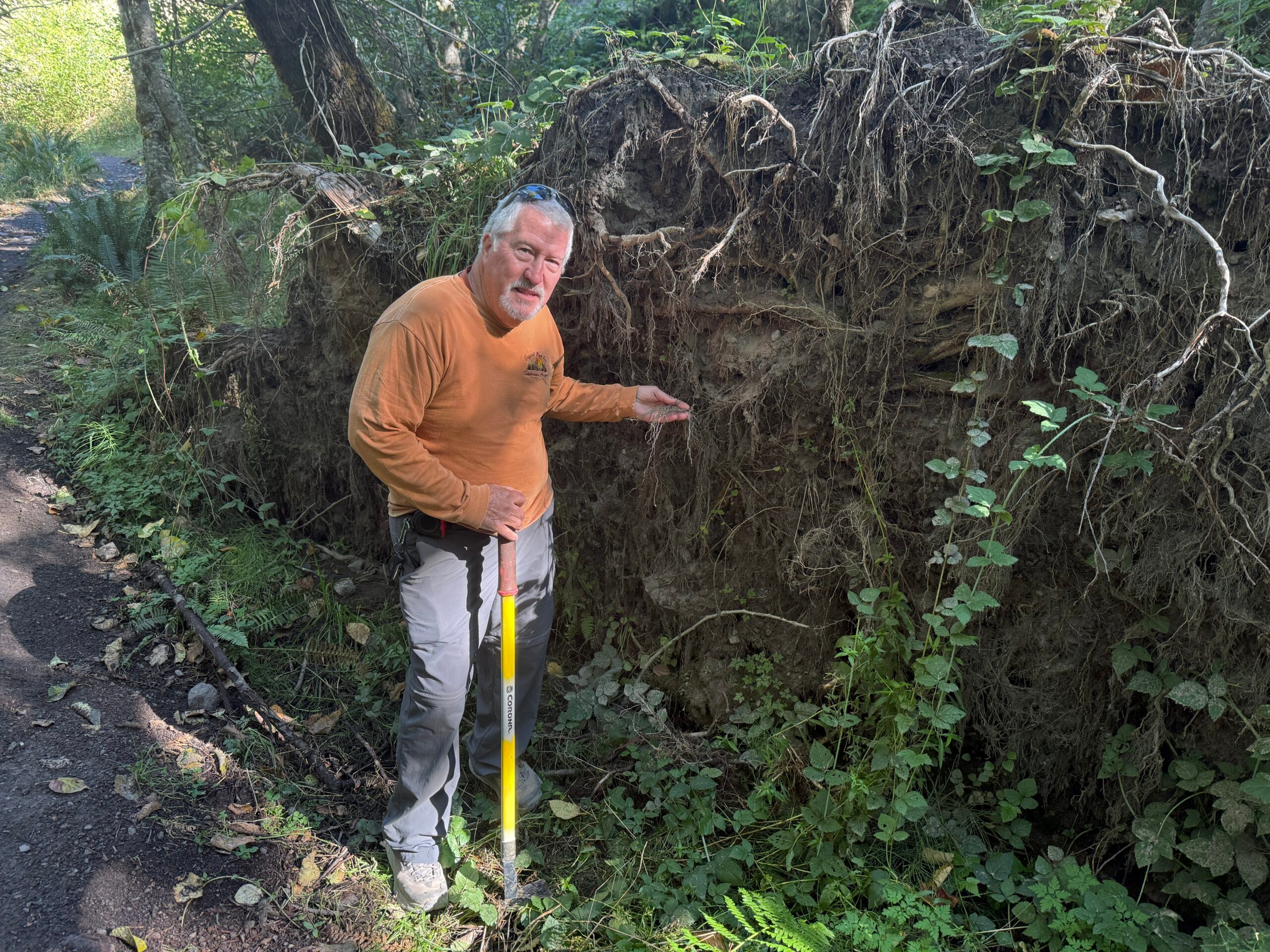
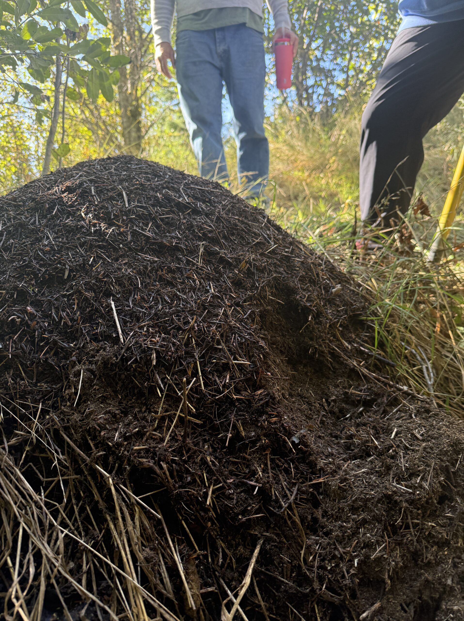
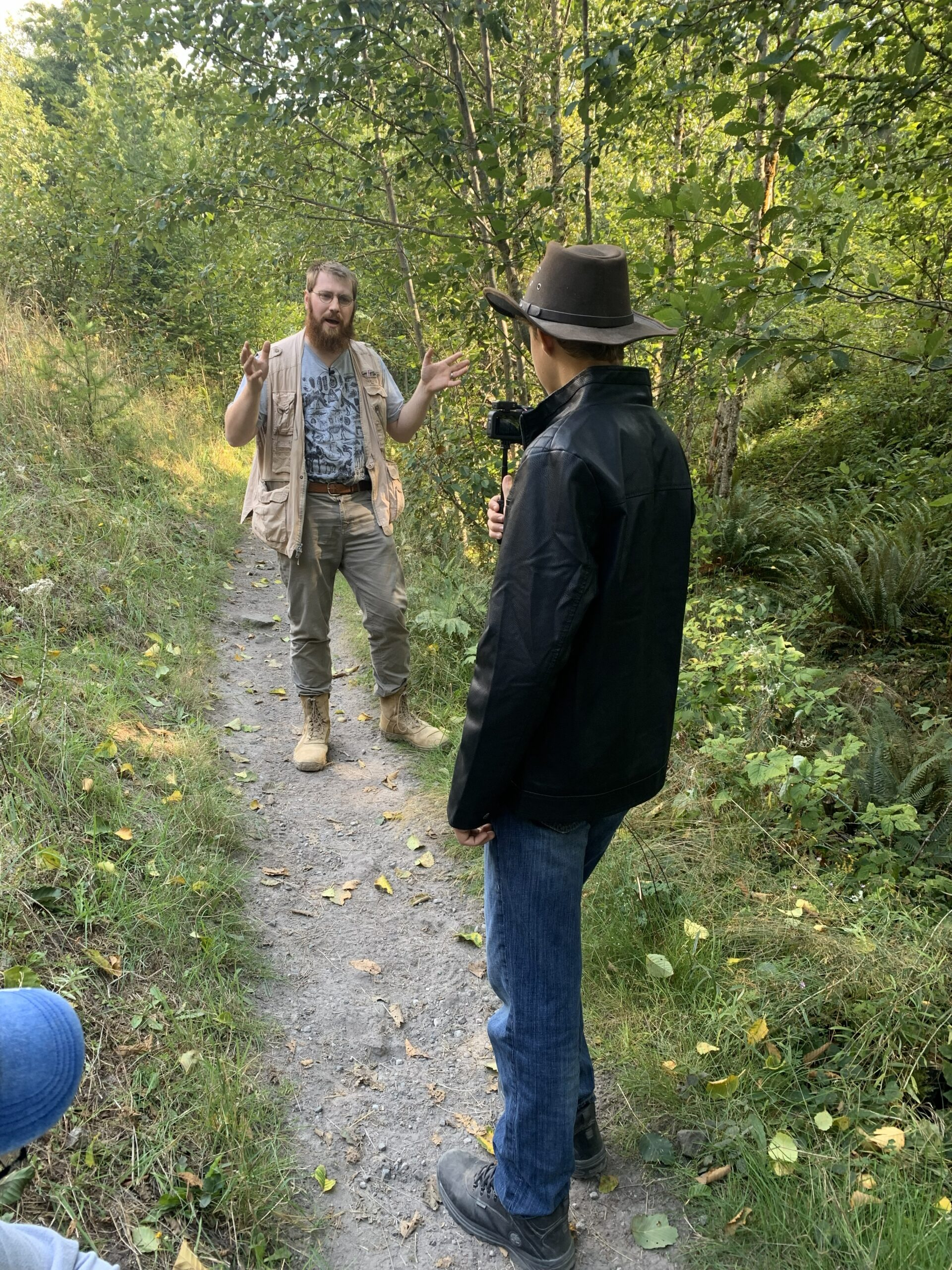
Following Bill’s advice, we started our exploration by going into the MSH National Park (NP) from the west side. We stopped at the Weyerhaeuser Visitors Center, made some videos then headed out to the Hummocks trail near the southwest side of Coldwater Lake, due west of MSH. Along the way we drove through mature forest that were planted by Weyerhaeuser at different stages (signs indicating the date of planting) and many areas already being harvested. Along the Hummocks Trail we made several videos about the rapid regeneration of the forest by Craig Hawkins (BS and MS degrees in forestry and worked as the Australian National Forest Service for decades). I made videos about the significance of bioturbation using the massive ant mounds and extensive root systems of felled trees that we observed along the trail. Joe made videos of the significance of the tree stumps left from the initial blast.
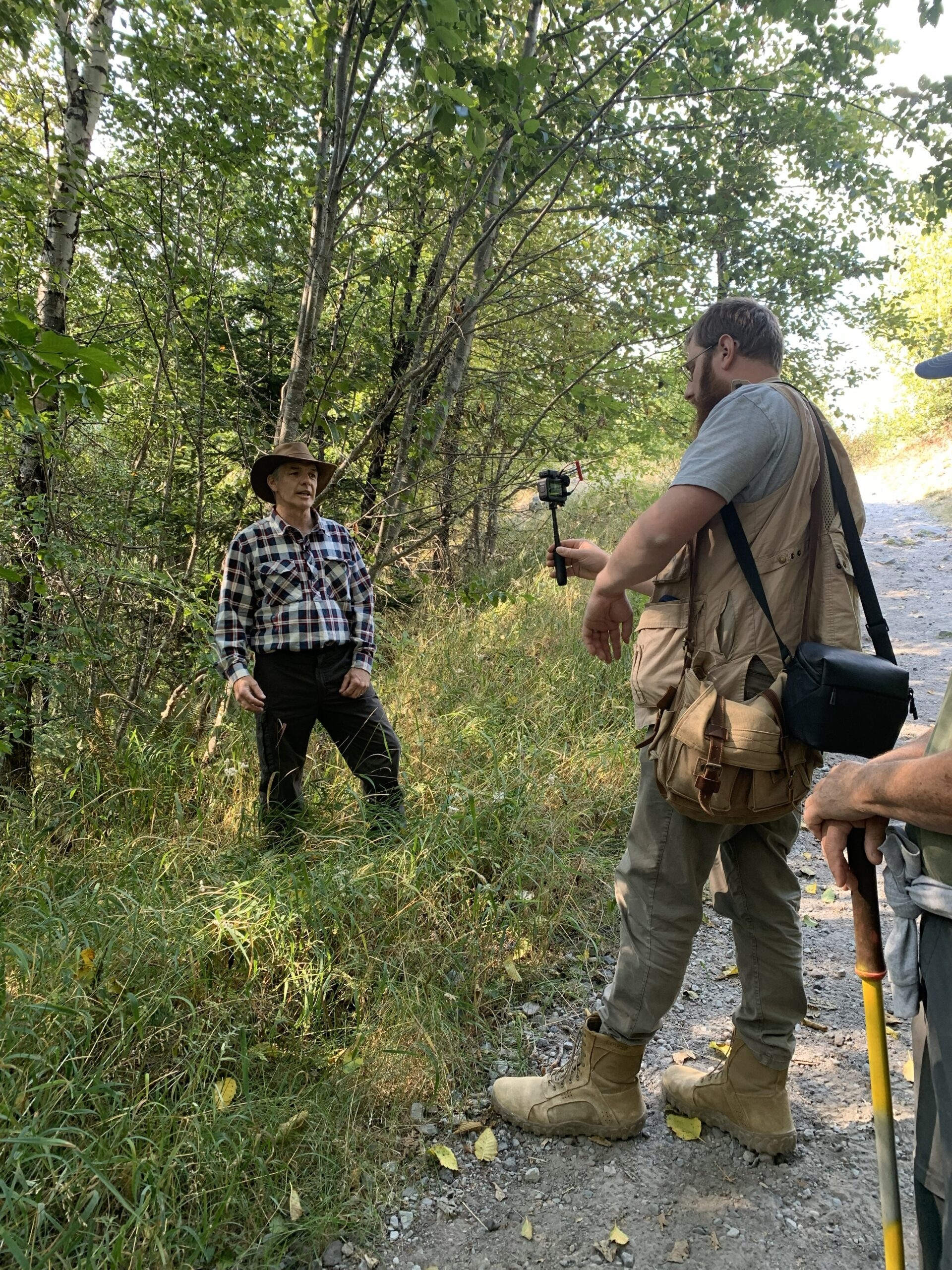
The second day we entered the MSH National Park from the south, traveling through National Forest. We explored the Muddy River which is a 30 mile long stream on the southeast side of Mount St. Helens. During the eruption, lahars swept through the river leaving volcanic rocks and sediment that are still there today. We hiked up the river and trails in the area. While today the river and its tributaries have clear mountain waters, that was not the case during the eruption as it too, like the Toutle River, was filled with logs and cement like sediment.
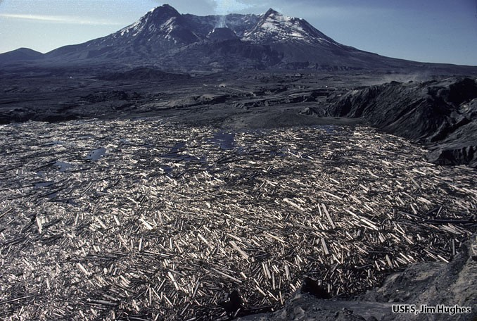
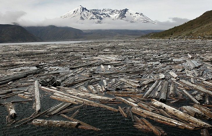
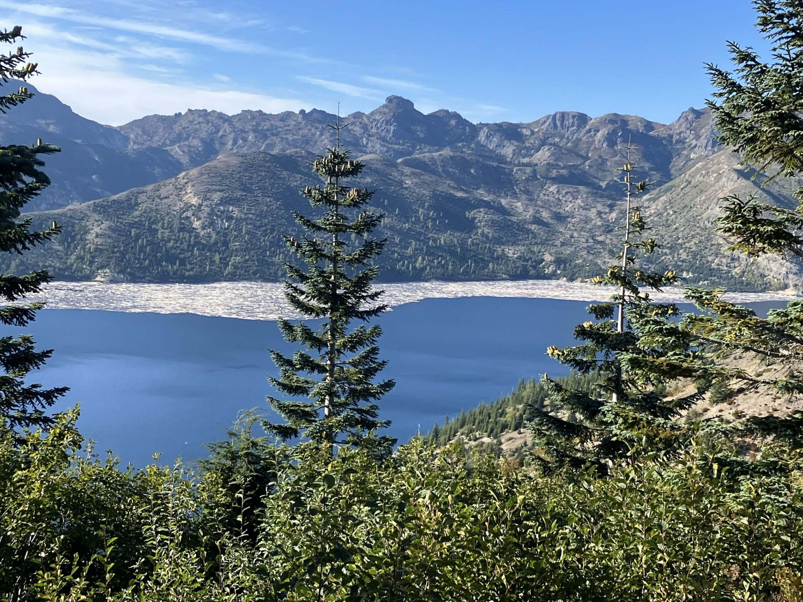
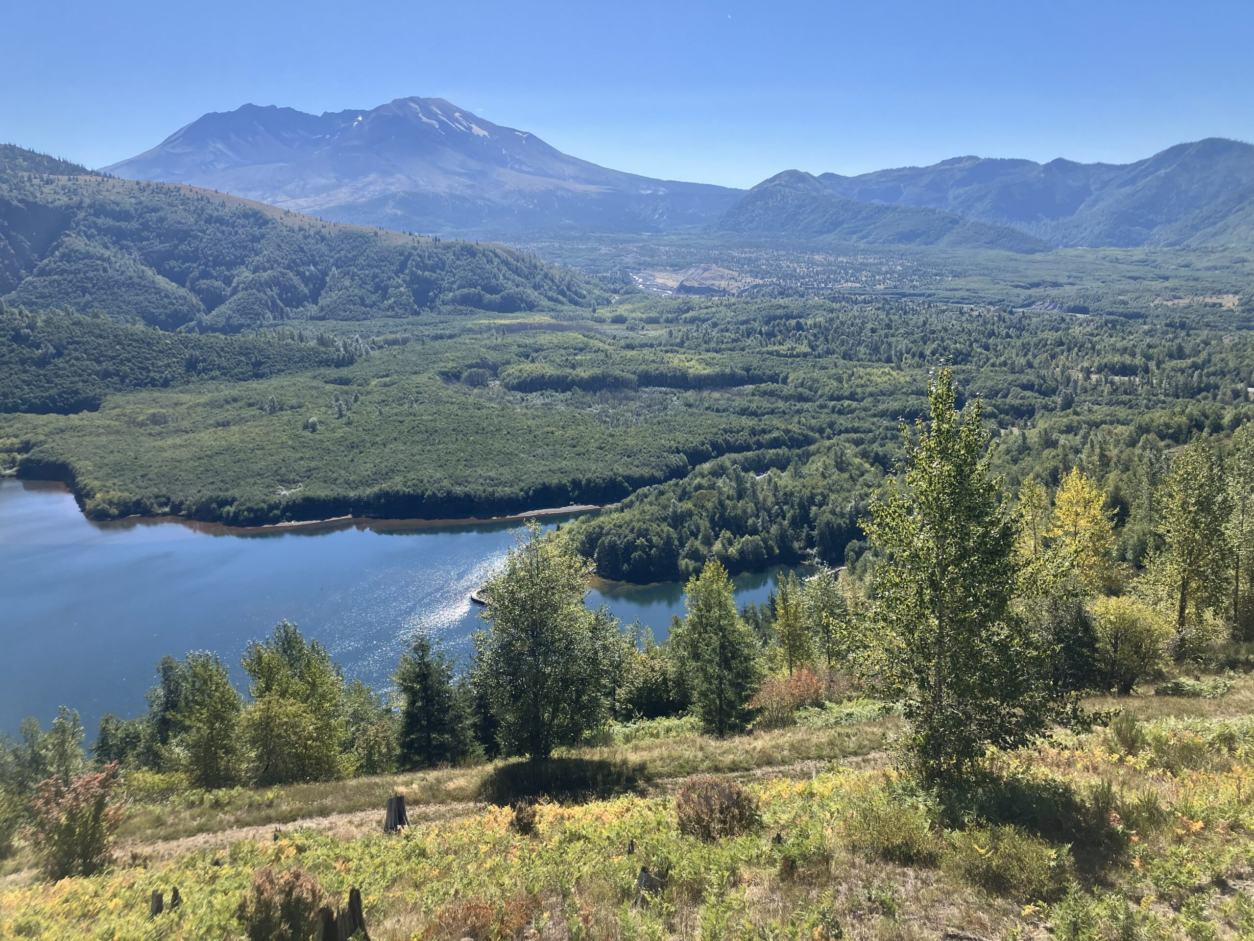
The highlight of the trip was the 3rd day when we followed Bill into MSH National Park from the north side. It was a wild drive as the road was sloughing off the mountain side almost the enter route in. We hiked to Spirit Lake and then drove to the closest observation point to MSH. The 1980 eruption caused an 850 foot high tsunami in Spirit Lake that stripped the surrounding land of everything and scared the rocks. When the lake reformed, the surface was 200 feet higher and 900 acres larger in area but around 150 feet shallower. The biggest difference was it was filled with around 1 million trees that were missing their stumps (root systems), and branches. Over a short period of time, these floating trees lost their bark as they rubbed and bounced off each other. By scuba diving and doing sonar scans, Dr. Steven Austin and the creation scientists team discovered that the trees were sinking to the bottom in a vertical position with the trunk end at the bottom as if they grew in place from the lake bottom. He also discovered that the missing bark had settled to the bottom of the lake and had already formed an organic mat that was at the early stages of coal formation just as his dissertation had proposed for the real process of coal formation.
By hiking to Spirit lake we saw the scars in the rocks from the tsunamis, and there are still trees from the blast floating in the lake. These trees are still making music by bumping into each other and rubbing against each other by wave action. We learned that the trees that entered Spirit Lake in 1980 soaked up water and sank in order of their species. In other words, the most absorbent tree species sank first, then the lesser absorbent species. Therefore, if erosion events had continued to fill Spirit Lake with sediment, you would see a stair-step of tree species buried in a vertical position as if they grew in place and evolved over millions of years but in fact this soaking up of water and sinking by species happened over 45 years to date and is still occurring today. We also saw that the remaining trees in a log jam along the lake shores had abraded ends from rubbing against each other. This is exactly what fossilized log jam trees in deposits around the world look like, thereby, confirming the process for their formation. Again, it didn’t require long time just the right conditions.
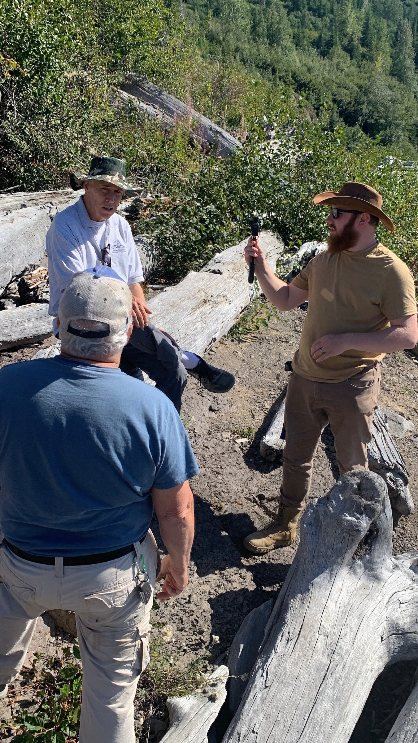
From the observation point on the north side of MSH, we had a clear view of the volcano which was smoking while we were there. We watched elk playing and fighting in the valley below. We also made several videos of Bill explaining the eruption and the people who were killed at this very spot as well as those that survived and made the most famous pictures of the eruption.
The last day we went back to the Hummocks trail and then spent some time looking at the sediment along the Toutle River. There I was filmed talking about the rapid development of soil profiles in this sediment. See our Research Findings for more details on the significance of the soil profile as well as other things we learned and observed on this trip.

There is probably not another location in the world that is as significant to creation research as Mt St Helens. The catastrophic processes of the eruption provided a microcosm of the rapid processes that happened during and after the global flood of the Bible. Equally important is for creation scientist to observe how rapidly the ecosystem was restored. It is imperative that creation scientist explore Mt St Helens first-hand. From this experience we not only gained the knowledge that enables us to defend the truth but we can bring these physical evidences for others to see. Your support makes this possible.